
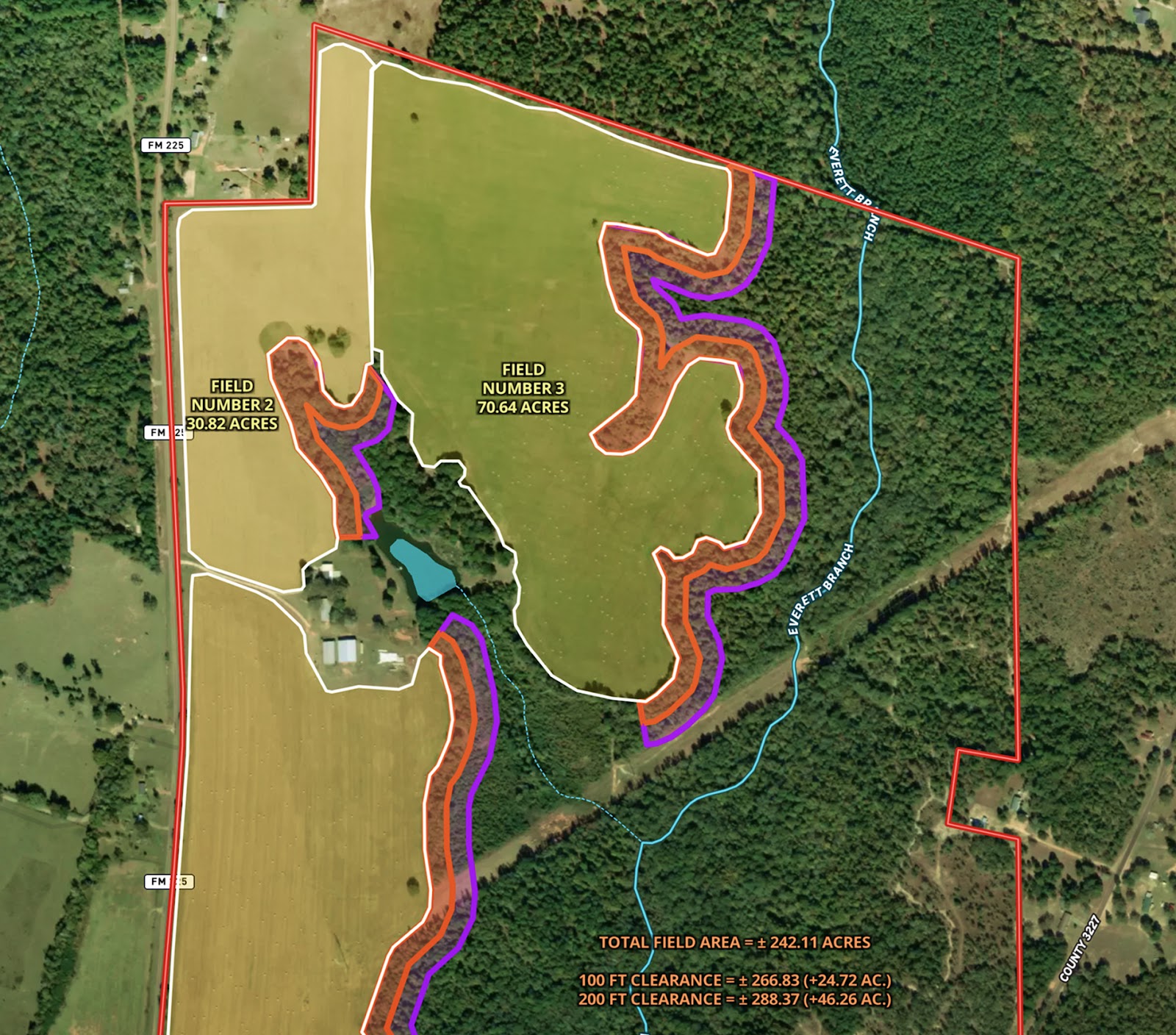
Designed to support landowners and developers in evaluating field expansion potential, this planning map outlines current field boundaries and models the impact of forest clearing around each field.
To aid in strategic decision-making, the map includes:
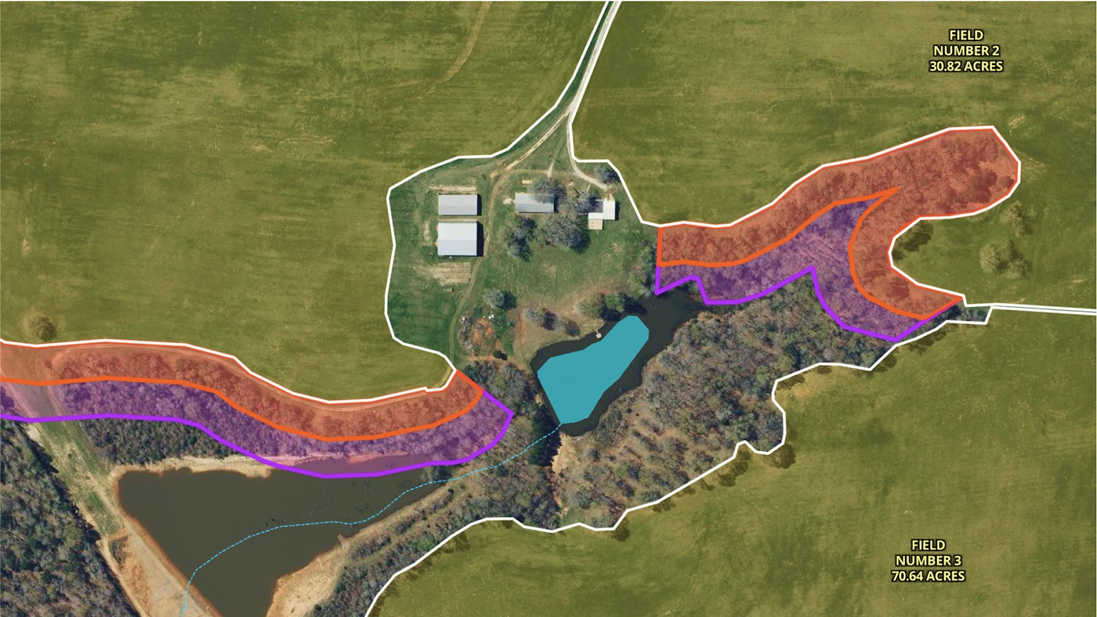
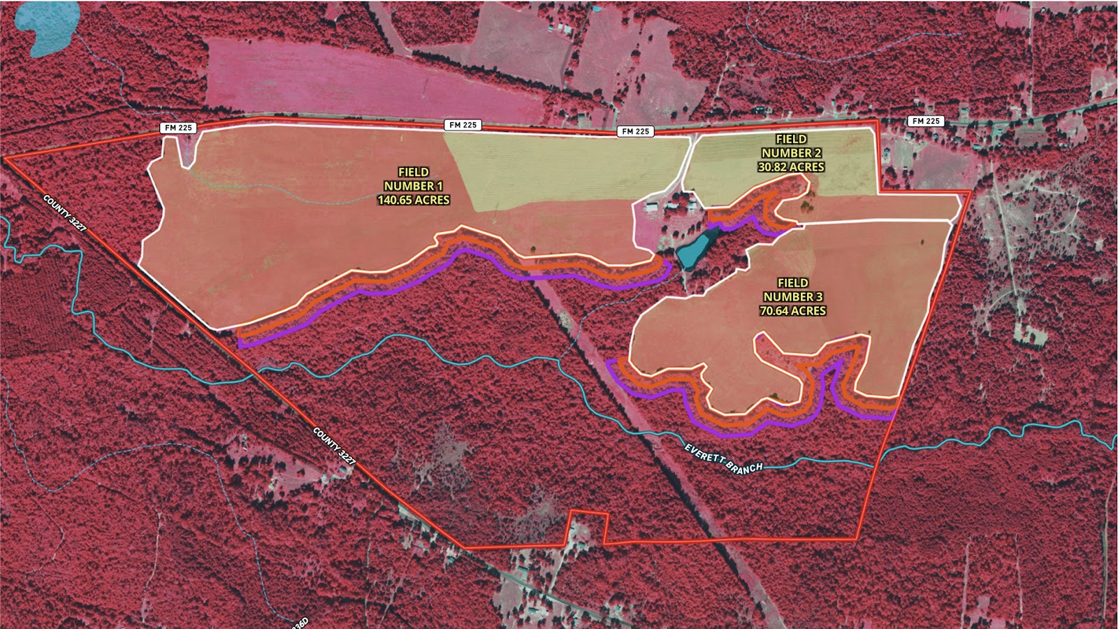
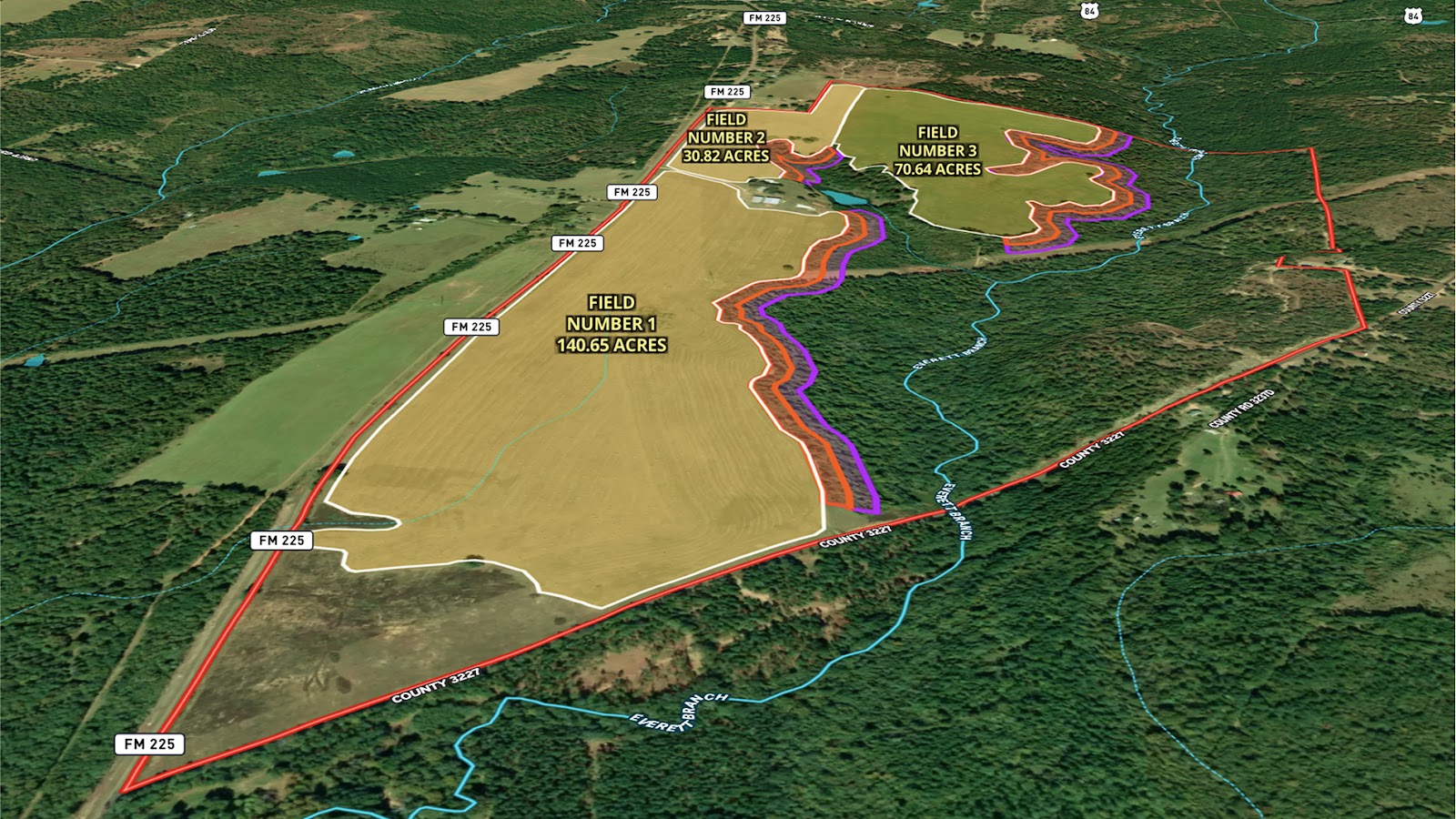
- Clearly marked existing field outlines with individual acreage totals.
- Buffer zones at 100-ft and 200-ft increments, representing potential areas for clearing.
- Calculated acreage gains from each buffer distance.
- A summary of total acreage before and after clearance.
Whether the goal is agricultural expansion, improved visibility, or optimized land use, this map gives a data-backed view of how targeted clearing could enhance usable acreage. With Land id, land planning becomes visual, measurable, and easier to act on—ensuring landowners make informed decisions rooted in clear spatial context.
Learn How to Create a Map Like This:
- How to make maps in Land id
- Create and edit boundaries
- Add labels to maps and mapped items
- Measurement tools
- Surface water overlay
Keep Exploring


5.6 Acre Rural Listing in Bozeman, MT

Commercial Real Estate Off-Market Prospecting

Subdivided Lots for Sale

Data Center Development Site Analysis
Take Your Mapping to the Next Level
Mapping is just the beginning. Land id is the #1 tool for researching, discovering, and showcasing land, and we're here to help you make the most of it, every step of the way.

