
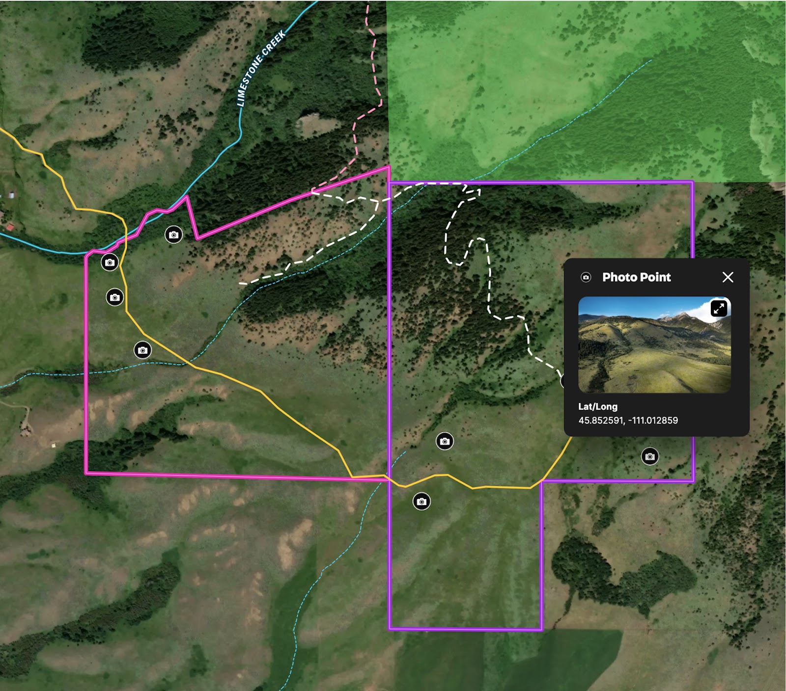
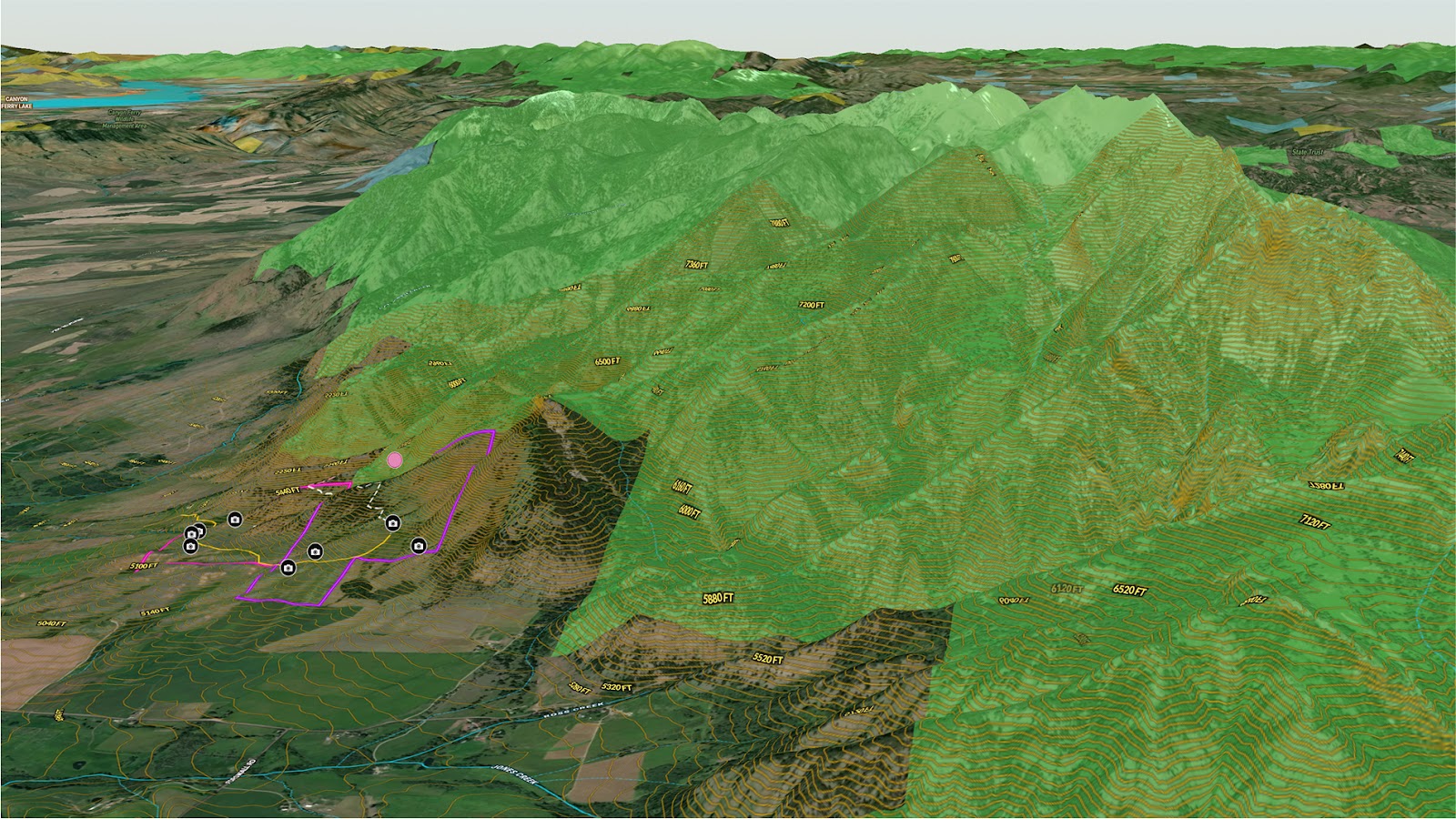
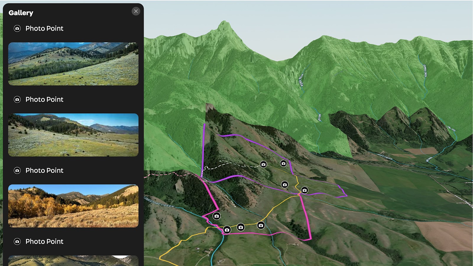
This custom map highlights a stunning 341-acre property located just north of Bozeman, Montana, nestled against the Gallatin National Forest. Designed to support land marketing and recreation planning, the map includes:
- Clearly defined property boundaries and road access.
- Trail routes leading directly into the national forest.
- Photo points that capture panoramic views across the Bridger foothills.
With direct trail access to public land and expansive mountain scenery, this map brings the property's full potential into focus—whether for buyers, investors, or outdoor enthusiasts.
Learn How to Create a Map Like This:
- How to make maps in Land id
- Draw detailed maps by adding items
- Add labels to maps and mapped items
- How to embed photos, videos, 360° walkthroughs, and more onto your map
- Visualize maps in 3D
More Map Examples
Keep Exploring


Real Estate
5.6 Acre Rural Listing in Bozeman, MT
Land id® GIS mapping software creates immersive real estate maps that showcase property features, land parcels, and lifestyle highlights for this Bozeman riverside retreat.

Real Estate
Commercial Real Estate Off-Market Prospecting
Boost your sales pipeline with Land id®'s real estate mapping software. Create property maps to track land parcels, market trends, and off-market opportunities with ease.

Real Estate
Subdivided Lots for Sale
Simplify how you subdivide a parcel of land with Land id's cut tool.

Real Estate
Data Center Development Site Analysis
Use Land id® GIS mapping software to evaluate land parcels for data centers. Create a property map with overlays for utilities, floodplains, and more using real estate maps.
Take Your Mapping to the Next Level
Mapping is just the beginning. Land id is the #1 tool for researching, discovering, and showcasing land, and we're here to help you make the most of it, every step of the way.

